About
“Geography represents travel and expands the field of vision not a little. It makes us citizens of the world and connects us to the most distant nations. Without them, we are limited to the city, province, empire in which we live. Without them, no matter what you have learned, you remain limited and cramped. Nothing educates and cultivates common sense more than geography.”
(quote from Immanuel Kant, 1724-1804)

Geography Teacher
I previously worked as a geography teacher at The American Robert College of Istanbul. My most prominent ideal was to inspire a love of learning in my students. During my time there, I focused on addressing one of the most significant challenges of our time—climate change. My main goal was to instill in my students an understanding of environmental sustainability, ensuring that they would prioritize the environment, no matter what path they chose in the future. I am now pursuing my Ph.D in Didactics of Geography at the Faculty of Science at Charles University. My dissertation focuses on "Exploring the Potential and Impact of Virtual Reality Technologies on Geography Education." The research aims to examine how integrating virtual reality (VR) can enhance students' understanding and engagement in geography, transforming traditional teaching methods into immersive learning experiences. I am investigating VR's impact on student motivation, performance, and collaboration, as well as its potential to innovate geography education.
- Email: vuralg@natur.cuni.cz
- Linkedin: Güneyi Vural
- Link to My Profile on University Website
Resume
Education
Master's Degrees
Geographic Information Technologies
2018
Istanbul Technical University
Geography
2016
Istanbul University
Bachelor's Degrees
Archeology (Double Major)
2012
Istanbul University
Certificates in Pedagogy
2011
Istanbul University
Geography (with honor)
2011
Istanbul University
Professional Experience
American Robert College
2021 - 2024
Geography Teacher
Eyup municipality in Istanbul
2017 - 2020
Geography Teacher
Ali Rıza Ozderici High School in Istanbul
2013
Geography Teacher
Eyup High School in Istanbul
2011
Geography Teacher
Archelogical Excavation in Nigde (Tepecik-Çiftlik)
2011
Archeologist
Subfield
Geoscience Education
Geocognition
Science Education
Migration
Political Geography
Geographic Information Science
Environmental History
Additional Education & Certificates
10-19 June 2010 GIS project and certificate of participation. A group of friends of mine and I researched flood and ıts effects on the Tunca River in GIS, and we have a book about what we have studied. Also, this project was supported by TUBITAK (The Scientific and Technological Research Council of Turkey).
Usıng computer(160 hours)
Photo shoot(96 hours)
Advanced using office programme(60 hours)
Body Language (15 hours)
Certıfıcate of Getting started with GIS ( for ArcGIS 10.0) from ESRİ
Turning Data İnto İnformation Using ArcGIS 10.0 from ESRİ
ArcGIS Pro: Essential Workflows (24 hours)
Introduction to GIS Using ArcGIS (16 hours)
Publications
Conference Papers
Gönençgil, B., Vural, G. (2016). Çevre tarihi açısından küçük buzul çağı ve sosyal etkileri (In terms of environmental history little ice age and its social effects) International Geography Symposium 13-14 October 2016, Ankara
Mutlu A., Vural, G.., Aydın Ö., Güney B., Hamamcı S, M., Aya A., Sur N., Uluğtekin N., Balçık F, B. (2017). Bodrum Turistik Bilgi Sistemi Web ve Mobil Uygulamaları (Bodrum Touristic Information System Web and Mobile Applications) Turkey Map Scıentıfıc And Technıcal Congress, Geoinformation Technologies and Software Fair, 3-6 May 2017, Hacettepe Unıversity, Ankara
Vural, G., Dogru A.O., Demirel H., Seker D.Z. (2018): Visual analysis of human migration activities to Europe using GIS, Euroasian GIS 2018 Congress, 04-07 September 2018, Baku, Azerbaijan. (Oral Presentation-Published Abstract)
Journal
You can read my essay titled Environmental Awareness Through Geography Education on page 8 of this journal by clicking below.

You can read my essay titled New Course Teaches Students to Map Solution to Climate Change on page 14 of this journal by clicking the link below.
Theses Summaries
Visual Analysis For Migration Routes Of Immigrants Who Have Gone To Europe Between 2009 And 2017 Using Gis
Migration means moving from one area to Another permanently or temporarily and it dates back to the ages of early homo sapiens. Although it has different means for different eras, today, the migration phenomenon caused by wars and natural disasters and it flows from undeveloped and developing countries to developed ones. In addition to this, in general, there are some driving factors. First of all are security problems, high crime rates, crops fail especially in rural areas, floodings, poverty, and wars. Another driving factors are good job opportunities, high living standard, good weather conditions, more secure places and low crime rates, political stability, fertile lands, low-risk proportion of natural disasters. ... [Read More]
Little Ice Age (1300-1850): A Focus On Physical Features And Effects On Humans
In general terms, Lıttle Ice Age can be defined as a period of between 1300-1850 when the temperature decreased at least 1oC which gave rise to the icrease in the expansion areas of glaciers having an impact in every other ragion in the World at different ranges with sudden climatic oscillation. While this period of time is named as Lıttle Ice Age, it can be wrong to speak of a global era affecting the whole world in the same extend. The impact shows changes according to time and space. Furthermore, the factor making Lıttle Ice Age important is especially the effects it created on different societies. During this period of time, many revolts (Celali Revolts), social events (French Revolution) and wars took place. All these events are relation between these two is tried to be revealed. ... [Read More]
Gallery
- All
- Flood-Project
- Excavation
- Robert College
- Coastal Geomorphology
- Student Materials
- USA Times

Edirne Northwest Turkey

General View of Tunca river

Interviewing with local people.

View after flood
 Central Turkey")
An archaeological excavation in Niğde
 Central Turkey")
An archaeological excavation in Niğde
 Central Turkey")
An archaeological excavation in Niğde
 Central Turkey")
An archaeological excavation in Niğde
 Central Turkey")
An archaeological excavation in Niğde
 Central Turkey")
An archaeological excavation in Niğde
 Central Turkey")
An archaeological excavation in Niğde

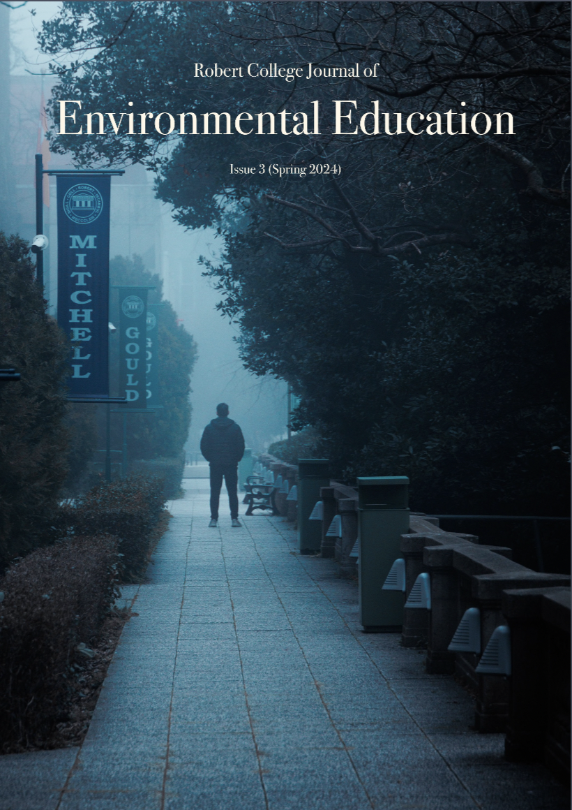
Robert College

Robert College

Robert College

Robert College

Robert College

Coastal Geomorphology

Coastal Geomorphology

Coastal Geomorphology

Orogeny and Mountain Range

Isohips Curves

Population Pyramids

Winds and Pressures

A River Basin, Valleys, A Delta

University of Kansas / Lawrence

University of Illinois at Urbana-Champaign

Grand Canyon / Arizona

University of New Mexico / Albuquerque

University of Arizona / Biosphere 2

Columbia University / New York

University of Arizona / Tucson

Princeton University / New Jersey
Contact
Location:
Prague, Czechia
Email:
vuralg@natur.cuni.cz